
What is Iowa’s Highest Heat Index of All-Time?
As another round of sweltering heat is ready to make us sweat this weekend.
As of Friday morning, the southern half of Iowa (including Cedar Rapids) is in a Heat Advisory for Saturday with heat index values as high as 105*.
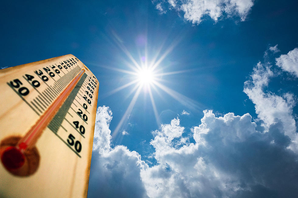
The Heat Index is a measure of how hot it really feels when relative humidity is factored in with the actual air temperature. Our bodies try to keep us cool by losing water through the skin and sweat glands. But when the humidity is too high, our sweat won’t evaporate. The higher the humidity, the harder it is for the body to sweat and cool itself down.
According to Jim Lee at the National Weather Service, the highest observed heat index in Cedar Rapids occurred during the 1995 heatwave on July 13. The air temperature was 100° and with a dew point of 85°, the heat index of 131° (old scale).
As for Waterloo, Cory Martin from the National Weather Service in Des Moines says the highest heat index was 120° on July 12, 1995. That was from a temp of 97° and a dewpoint of 80°.
On average, Waterloo & Cedar Rapids will spend over 60 hours/year with a Heat Index at/over 100*. So far this year, Waterloo has spent ONE hour with a heat index of 100*. Cedar Rapids has yet to see a heat index over 98* this summer. (as of 7/22)
Des Moines will see, on average, over 100 hours per year with a Heat Index at/over 100* --- but only SIX hours so far this year at that level.
The highest heat index ever recorded in the world was 178* in Saudi Arabia on July 8, 2003. The air temperature was 108* and the dewpoint was 95*.
The highest air temperature recorded in Iowa was 118* on July 20, 1934, in Keokuk.
The heat index was developed in 1979 by Robert G. Steadman. He used several basic factors that would affect how hot a person felt under a given set of conditions. But his original research was founded on the idea of a "typical" person. His "typical person" was 5'7" tall, weighed 147 pounds, wearing pants and a short-sleeved shirt, and was walking just over 3 MPH into a slight breeze in the shade.
Any changes from those conditions would affect how the heat/humidity combo feels to a certain person.
Per the National Weather Service:
An Excessive Heat Watch is issued when conditions are favorable for an excessive heat event in the next 12 to 48 hours.
An Excessive Heat Warning/Advisory is issued when an excessive heat event is expected in the next 36 hours.
More From K92.3


