
Coldest Weather of the Season Arriving on Christmas
So far in December, Waterloo-area residents have been spoiled with above normal temperatures in over half the days so this month, highlighted with a record-high of 60* on 12/10.
...but all that is about to change.
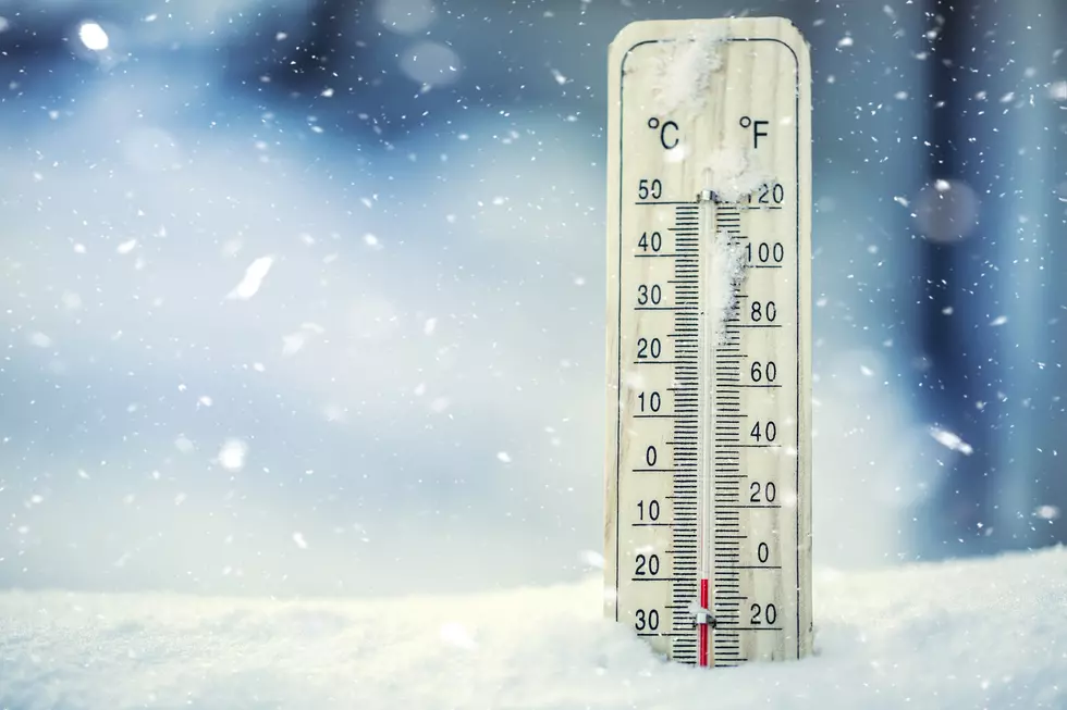
According to the National Weather Service in Des Moines, Tuesday's high temperatures once again reached the 40s and those temperatures continued through the overnight hours into early Wednesday morning...then the temperatures will fall into the 20s by Wednesday afternoon before bottoming-out to the single digits by Thursday morning.
There's also a chance of rain and snow during the daytime hours on Wednesday. Along with winds gusting at 30+ MPH, travel could be quite hazardous as any liquid on the roads could quickly freeze as the temperatures get below freezing. (511ia.org for latest road conditions)
Will it be a 'White Christmas?' (at least one inch of snow on the ground on Christmas morning) Maybe, some areas could receive an inch or two of accumulation.
The high temperature of Christmas Eve might not even make the teens. (Normal highs are around 30* during the first week of winter, normal lows are in the teens)
The low temperature on Christmas morning will be hovering around ZERO. But it should be sunny with highs reaching into the mid-20s.
But as chilly as that sounds, it won't be anywhere near the record low for Christmas. That honor belongs to Christmas morning 2000, when it dipped to -29* in Waterloo.
Christmas 2019 set the record for 'Warmest Christmas' in Waterloo with a high temperature of 59*!
The most recent time Waterloo had temps below zero was March 6 when it was -2*.
CHECK THEM OUT: 100 years of Christmas toys, gifts and fads
More From K92.3


