It's still hard to believe what happened in eastern Iowa the week before Christmas. Let's hope we don't have anything near a repeat this week.
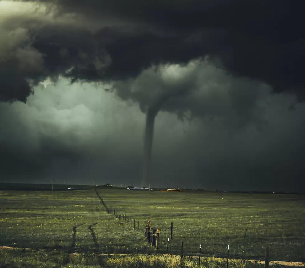
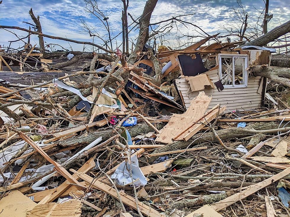
Back on December 15, 2021, the second derecho in 16 months hit the state of Iowa. When the final count of tornadoes spawned by the storm was complete, the number was shocking. There were 61 tornadoes across Iowa that December day. That's 26 more than had occurred on any one day in Iowa's past, with the previous record being 35 on August 31, 2014. Still, the path of destruction left behind by that serial derecho in mid-December was just a fraction of what occurred when the first land hurricane hit Iowa on August 10, 2020.
Just under three months later, Iowa could see its first severe weather of 2022. As you can see below, the National Severe Storms Forecast Center has the eastern two-thirds of the state included in the area that could see severe thunderstorms this Saturday, March 5.
According to meteorologist Kaj O'Mara at our weather partner KCRG TV 9, a little snow is actually possible in eastern Iowa on Thursday. However, Kaj says, "The next system just beyond that one carries more substance and may bring the area some strong to severe thunderstorms on Saturday. A risk is in place and we'll continue to monitor the setup as we get closer."
One thing is for sure, with thunderstorms likely on Saturday along with increasing humidity and temperatures rocketing into the mid-60s, the weather bears watching. And a cold front will be roaring into the area as well, dropping high temperatures from the mid-60s Saturday to the low-40s on Sunday. Ah yes, it's definitely the time of year when winter and spring battle for supremacy. Let's just hope the battle is kind to all of us.
KEEP READING: What to do after a tornado strikes
LOOK: The most expensive weather and climate disasters in recent decades
Gallery Credit: KATELYN LEBOFF
More From K92.3

![New Restaurants That Have Opened in Eastern Iowa in 2024 [LIST]](http://townsquare.media/site/675/files/2024/05/attachment-Copy-of-Add-a-little-bit-of-body-text-4.jpg?w=980&q=75)


![National Weather Service Confirms 26 Iowa Tornadoes on Wednesday [PHOTOS/VIDEO]](http://townsquare.media/site/675/files/2021/07/attachment-Iowa-tornado-%252540clarencewlsmith-Twitter.jpg?w=980&q=75)


